
News Summary
Columbia faces severe weather Sunday morning, including heavy rain and thunderstorms. Multiple warnings for severe thunderstorms and tornadoes have been issued across several counties. Wind gusts could reach up to 60 mph, leading to potential damage and power outages. Though the rain comes with a 90% chance, it may help mitigate drought conditions. As the storm passes, warmer temperatures are expected for the coming days, with some city parks reopened after cleanup efforts.
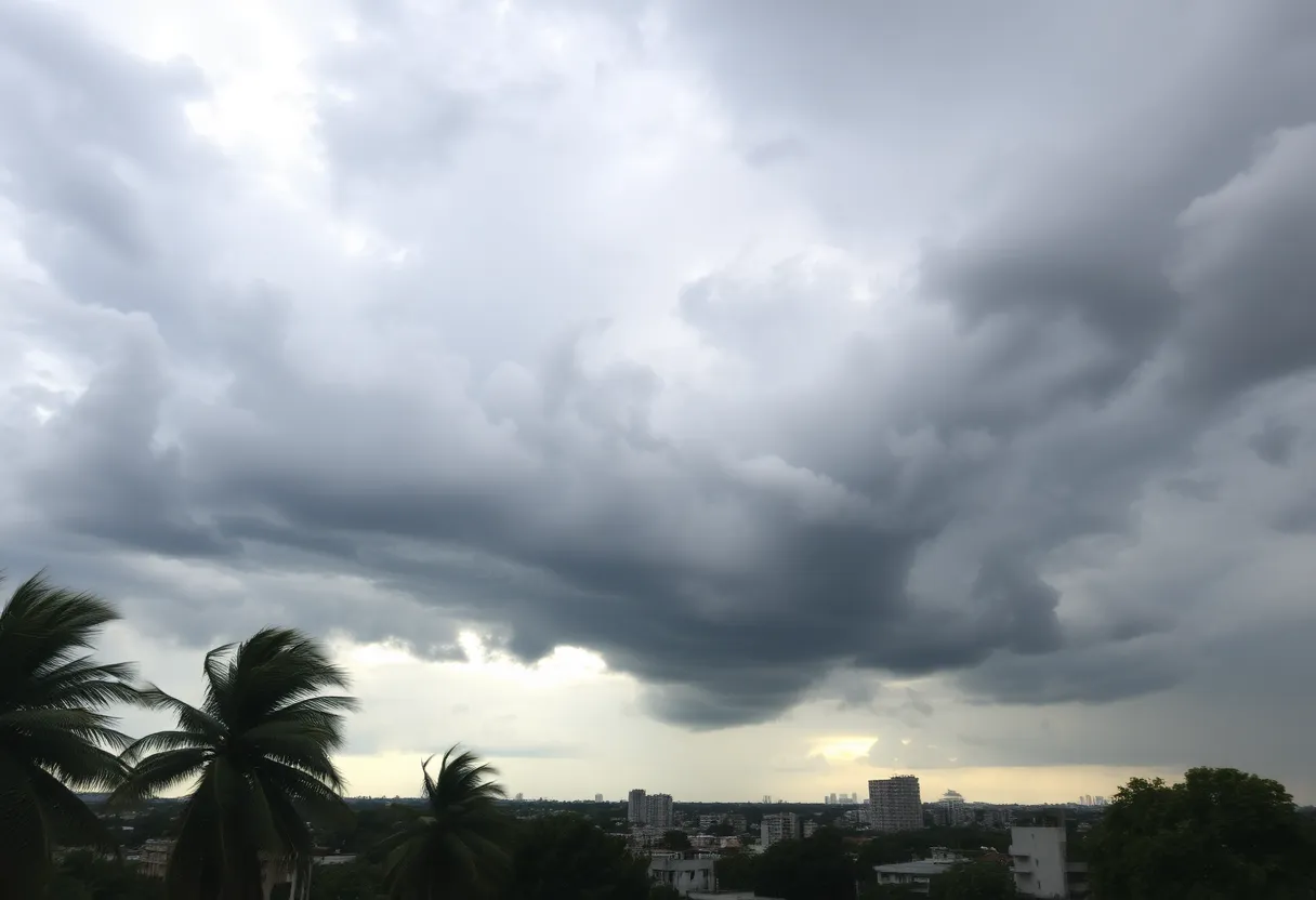
Severe Weather Warning in Columbia, South Carolina
Good morning, Columbia! As you sip your coffee and enjoy the weekend, be sure to stay alert because some severe weather is making its presence known in the Midlands. Sunday morning has brought us a mix of heavy rain, thunderstorms, and not-so-great news from the National Weather Service. So, what’s going on? Let’s dive into the details!
What’s Happening?
As of this morning, multiple warnings were issued to keep everyone safe:
- 8:45 AM: A Severe Thunderstorm Warning for Lee, Sumter, Kershaw, and Richland Counties. This warning is in effect until 9:45 AM.
- 8:06 AM: A Tornado Warning was active for Fairfield and Richland Counties, ending at 8:15 AM.
- 7:25 AM: Another Severe Thunderstorm Warning for Calhoun, Newberry, Saluda, Orangeburg, Lexington, and Richland Counties, which will last until 8:55 AM.
- 6:42 AM: A Severe Thunderstorm Warning for Newberry, Saluda, and Lexington Counties, effective until 7:42 AM.
- 6:22 AM: A Tornado Watch was issued for much of the Midlands until 2 PM this afternoon.
The tornado warnings and severe thunderstorm alerts indicate that we’re not out of the woods just yet. The weather patterns are expected to linger and cause issues throughout the day.
The Tornado Watch
Let’s talk tornadoes! The tornado watch includes Richland County, Lexington County, and almost all surrounding areas. Counties like Kershaw, Sumter, Calhoun, Clarendon, Lee, and Orangeburg are in the alert zone, too. An increased threat of tornadoes for the eastern parts of the Midlands has also been noted. As of 7:43 AM, a tornado was actually spotted at Dreher Island, moving towards the popular Lake Murray area and its dam. That’s a serious situation, folks!
Strong Cold Front at Play
What’s causing all this ruckus? It seems to be a strong cold front rolling through, bringing with it some strong-to-severe thunderstorms, localized flash flooding, and gusty winds. Wind speeds are expected to reach up to 60 mph right here in Columbia, which definitely raises the risk for damage. Keep an eye out for downed trees and power lines, as these could lead to potential power outages.
Moreover, a lake wind advisory has been issued for the Midlands until 8 PM today, signifying strong winds of up to 25 mph with gusts hitting around 40 mph. If you’re planning any outdoor activities or trips to the lake, it might be best to rethink those plans.
Rainfall Expectations
A 90% chance of rain looms large today in Columbia, with anticipated rainfall amounting to about half an inch—but be prepared for localized higher amounts. The rain may put a damper on beach days but can actually help prevent drought conditions, so there’s a silver lining somewhere!
What’s Next?
After this stormy saga comes to an end, we can look forward to some dry and warm conditions for the next few days. Temperatures will rise from the upper 60s all the way to a delightful high of 78 degrees by Wednesday. Sounds perfect, doesn’t it?
Lastly, it’s worth mentioning that the City of West Columbia had closed all city parks on March 16 due to the severe weather threat, but good news—some of these parks have since reopened after a thorough cleanup!
Stay safe, Columbia! Make sure to monitor local updates and avoid unnecessary travel during these tumultuous times. Keep your family and friends posted, and let’s ride out this storm together!
Deeper Dive: News & Info About This Topic
HERE Resources
Severe Weather Outbreak Claims Over 30 Lives
Customers Left Stranded as Charleston Roofing Company Vanishes
Lake Wind Advisory Issued for South Carolina Boaters
West Columbia Parks Close March 16 Due to Weather Woes
Severe Weather Alert for Kentucky: Flood and Wind Advisory
Storms Cause Tragedy Across the Southeast: A Tornado Outbreak
Signs That Your Roof Needs Immediate Repairs
Weather Leads to Match Postponement for Lexington Sporting Club
Severe Tornado Outbreak Hits Missouri with No Fatalities
Severe Weather Outbreak to Impact Midwest and South
Additional Resources
- The State: Severe Weather Alert
- Wikipedia: Severe Weather
- ABC Columbia: West Columbia Parks Closure
- Google Search: Severe Weather Columbia
- Cola Daily: West Columbia Park Closures
- Google Scholar: Severe Weather
- ABC Columbia: Tracking Severe Weather
- Encyclopedia Britannica: Severe Weather
- WHSV: Safety Tips for Severe Weather
- Google News: Severe Weather South Carolina